National map
U.S. ZIP Code Map
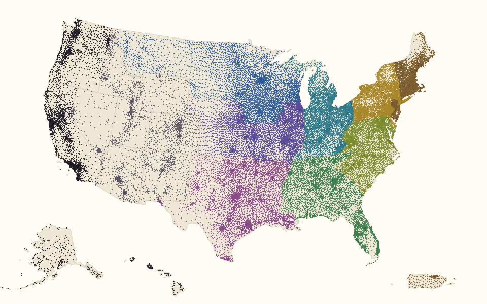
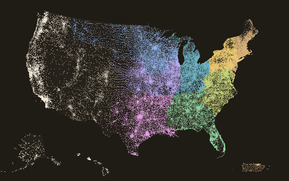
Every one of the 33,774 residential ZIP codes, placed at its center and colored by its first digit. The digit names one of ten national areas, numbered from 0 in the Northeast, Puerto Rico and the Virgin Islands to 9 on the Pacific coast, Alaska, Hawaii and the Pacific island areas; military codes sit in 0, 3 and 9.
The ten national areas
- 0
- 1
- 2
- 3
- 4
- 5
- 6
- 7
- 8
- 9
Source: U.S. Census Bureau, 2023 Gazetteer (2020 ZCTAs) and 2023 state cartographic boundaries.
Which states each first digit covers
| First digit | National area | Also used in |
|---|---|---|
| 0 | Connecticut, Massachusetts, Maine, New Hampshire, New Jersey, Puerto Rico, Rhode Island, Vermont, U.S. Virgin Islands and Armed Forces Europe | New York (3 codes) |
| 1 | Delaware, New York and Pennsylvania | – |
| 2 | District of Columbia, Maryland, North Carolina, South Carolina, Virginia and West Virginia | – |
| 3 | Alabama, Florida, Georgia, Mississippi, Tennessee and Armed Forces Americas | – |
| 4 | Indiana, Kentucky, Michigan and Ohio | – |
| 5 | Iowa, Minnesota, Montana, North Dakota, South Dakota and Wisconsin | District of Columbia (6 codes) |
| 6 | Illinois, Kansas, Missouri and Nebraska | – |
| 7 | Arkansas, Louisiana, Oklahoma and Texas | Missouri (1 code) |
| 8 | Arizona, Colorado, Idaho, New Mexico, Nevada, Utah and Wyoming | Texas (76 codes) |
| 9 | Alaska, California, Hawaii, Oregon, Washington, American Samoa, Guam, Northern Mariana Islands, Marshall Islands, Micronesia, Palau and Armed Forces Pacific | – |
Source: U.S. Postal Service national areas; codes used elsewhere from the PlainZIP index (Census 2020 ZCTAs; GeoNames postal codes, CC BY 4.0).